The Camí dels Bons Homes, or Path of the Good Men, is a long-distance hiking trail that traverses the Pyrenees mountains. The route is approximately 230km long and follows the paths taken by the Cathars as they fled the Inquisition during the thirteenth century.
The trail begins in Foix, amongst the hills and woodlands of Occitania, southern France. It then continues through the Pyrenees into Catalonia, passing through Cadí-Moixeró Natural Park before ultimately arriving in Berga, 100 kilometres north of Barcelona.
The route typically takes twelve or thirteen days to complete, with most guidebooks dividing it into ten stages, although this assumes two very long days. If you don’t have enough time to do the entire trek, there are public transport connections to several villages along the way. This means you could, for instance, spend a week hiking the French section and then return another time to complete the Spanish part of the trail.
If you’re thinking of hiking the Camí dels Bons Homes, this article includes all the information you need and is based on my experience hiking the route in September 2024. If you have any questions, please leave a comment below, and I’ll get back to you as soon as I can.
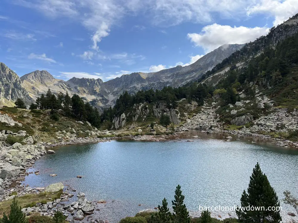
Hiking the Camí dels Bons Homes
History and origins of the Camí dels Bons Homes
Catharism was a Christian religious movement that emerged in Europe during the twelfth century, particularly in the region of Languedoc, which corresponds to modern-day Occitania.
The Cathars, or Bons Homes, believed that there were two gods, one good and one evil and that human souls were reincarnations of angels, trapped in the material world on their way to join with the good god.
As Catharism grew in popularity, it caught the attention of the Catholic church, and in 1141, Pope Eugene III sent the first missionaries to convert the Cathars to Catholicism. This was followed by several other unsuccessful missions and eventually a full-blown Crusade, during which towns and castles in the region were besieged and largely destroyed.
The Crusade ended in 1229 when the Counts of Toulouse were finally dispossessed. However, since the Cathars were not completely eliminated from the area, an Inquisition was sent to find and eliminate those that remained. [source]
Montségur Castle was one of the last strongholds of the Cathars. In 1243, after a nine-month siege, it was captured, and two hundred Cathar priests were burned at the stake. Following the siege, many of the remaining Cathars fled across the mountains to Catalonia, seeking refuge in towns such as Bellver de Cerdanya and Berga.
In recent years, there’s been a surge in interest in the Cathars, and several popular travel itineraries and hiking trails have been developed that visit the remains of Cathar castles, including Foix, Roquefixade, Montsegur, and Peyrepertuse.
One of these initiatives is the Camí dels Bons Homes, a long-distance hiking trail that was initially proposed in 1995 and follows the route followed by the Cathars as they fled through the mountains from France to Catalonia. Since then, the route has been officially recognized by European hiking federations and designated as the GR107.
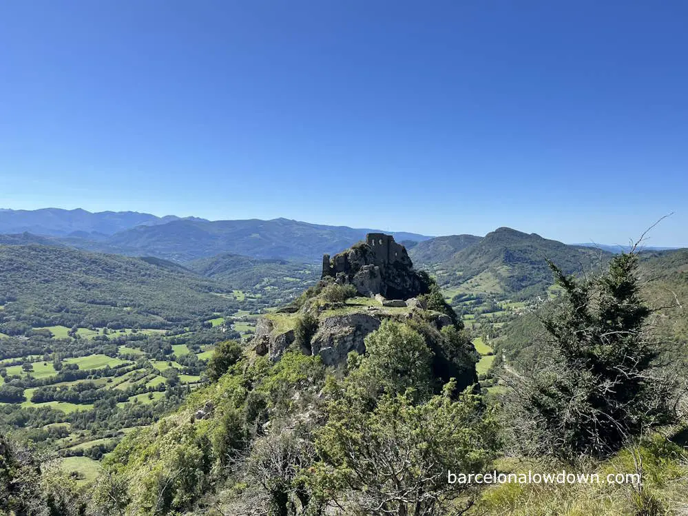
Camí del Bons Homes stages
As I mentioned at the start of this article, the Camí dels Bons Homes is typically divided into between ten and thirteen stages, ranging in length from about fifteen to thirty-five kilometres.
The table below shows the stages listed on the official Camí del Bons Homes website and includes links to download tracks from Wikiloc.
Most guidebooks divide the route into ten stages. I believe this is so that all stages start and end at a village where accommodation is readily available and to avoid the need to camp, stay at mountain huts (manned or unmanned) or transfer to accommodation off-trail.
| Stage | From – To | Distance | Wikiloc |
| 01 | Foix – Roquefixade | 22 km | Track |
| 02 | Roquefixade – Montsegur | 16 km | Track |
| 03 | Montsegur – Comus | 14 km | Track |
| 04 | Comus – Orlu | 27 km | Track |
| 05 | Orlu – Mérens les Vals | 18 km | Track |
| 06 | Mérens les Vals – Porta | 24 km | Track |
| 07 | Porta – Viliella | 23 km | Track |
| 08 | Viliella – Bellver de Cerdanya | 13 km | Track |
| 09 | Bellver de Cerdanya – Bagà | 22 km | Track |
| 10 | Bagà – Gósol | 25 km | Track |
| 11 | Gósol – Peguera | 17 km | Track |
| 12 | Peguera – Berga | 16 km | Track |
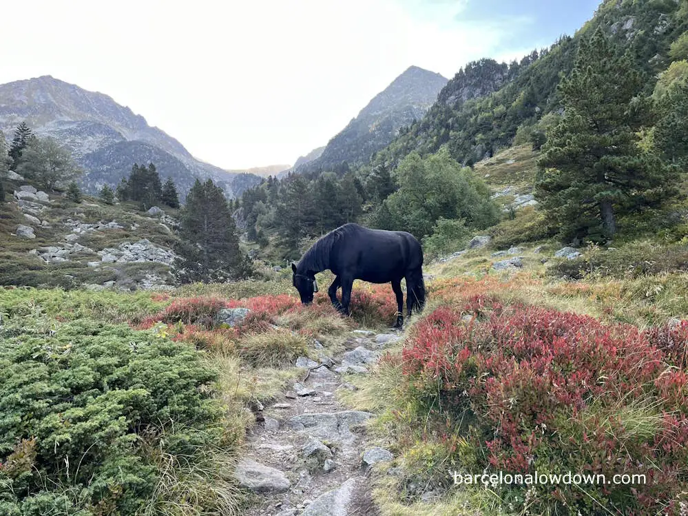
Preparation & planning
I initially learned about the Cami dels Bons Homes from a book called Les Grans Travesses de Catalunya, which describes ten of the most popular multi-day hikes in Catalonia.
I was immediately drawn to the route due to its varied terrain and spectacular scenery, combined with its history and connection to the Cathars. If you’re familiar with this blog, you may have noticed that, besides enjoying hiking, I’ve got more than a passing interest in medieval history.
As I researched the route online, I found that, although not as well known as the other long-distance Pyrenean routes, namely the GR10, GR11, and the Pyrenean Haute Route, the GR107 is becoming increasingly popular with both French and Spanish hikers and has the advantage of being able to complete the entire trek in under two weeks.
As with all the GR trails, the GR107 is well-marked, and you can follow it in either direction, either from Foix to Berga or from Berga to Foix. Generally, most Spanish websites and books describe the route from south to north, whereas French websites run from north to south. I decided that, since the route retraces the flight of the Cathars from France to Spain, it made more sense to start in Foix.
This was a fortuitous decision because, during the first week of my vacation, it was raining heavily in Catalonia, while the French section of the trail was dry and largely sunny.
Another thing I found was that, whereas the official websites (links below) divide the route into twelve or thirteen stages, most guidebooks, including the one mentioned above, describe ten stages, two of which are over thirty kilometres, which, in my opinion, is very long considering the sometimes challenging terrain and daily altitude gains.
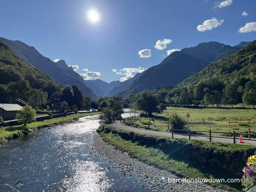
If you do decide to hike the Camí dels Bons Homes in just ten days, I recommend you consider hiking from Berga to Foix. That way, the longer and more demanding stages come earlier in your trip when you should have more energy. Having said that, I think that spreading the hike out over twelve or thirteen days makes for a more enjoyable holiday. Ideally, it’s best to have a couple of extra days to play with in case of bad weather or another unexpected delay.
I decided to break the trail into thirteen stages, as described here. This is slightly different from the stages in the table above because it divides the stage from Comus to Orlu, stopping at the Chioula Refuge and then stopping at Cabana dels Esparvers, a small unmanned refuge shortly after you cross the border into Spain, instead of Viliela.
I also decided to carry a tent and camping equipment. This decision was initially made because the Cabana dels Esparvers is very small, meaning it may be full. It also meant that I could be more flexible and wouldn’t need to book my accommodation in advance.
As you will see in the list below, I ended up camping for four nights and staying at a mixture of gîtes d’etape (shared dormitory-style accommodation) and budget hotels, which I generally booked the day before, although, on one occasion, I booked the same day.
I hiked the route during the last two weeks of September. If you plan to hike in July or August, the high season, you will probably need to book everything in advance. In fact, I met a French hiker who had booked all his accommodation more than a month in advance and still found that the guesthouse at Viliela was already fully booked.
Thanks to the flexibility provided by not having to book ahead, I was able to avoid bad weather when crossing Portella Blanca by breaking the previous stage in two and stopping at L’Hospitalet-Pres-l’Andorre. Obviously, this added an extra day to my holiday, but this wasn’t a problem, and it was certainly worth it for the views.
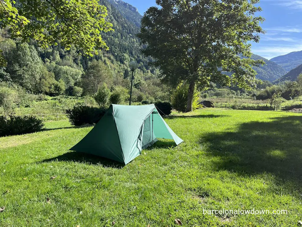
The only downside of camping is that the villages you pass through on the French part of the trail are tiny. There are very few shops, and what shops there are are very small and only open for a few hours a day. This isn’t a problem if you stay in gites or hotels because they are geared up for hikers and provide evening meals, breakfasts and picnic lunches. However, if you plan to camp, you either have to bring enough food with you for the French section of the trail or plan to take a short detour to Ax-les-Thermes and restock there.
Ultimately, I carried nine dehydrated meals with me, five breakfasts and four main meals, and I ate five of them before arriving at Bellver de Cerdanya. However, if I’d camped at Mérens les Vals and Cal Jan de la Llosa as I’d initially anticipated, I would have eaten all of them.
Accommodation along the GR107
In the French part of the trail, accommodation mainly consists of gîtes d’etape and auberges, although the larger villages also have campsites and small hotels. On the Spanish part of the trail, there is generally more choice of accommodation, including mountain huts (manned and unmanned), hotels, campsites, and bed-and-breakfast-type accommodations.
Gîtes d’etape, auberges, mountain huts, guest houses, and many of the hotels along the route cater to walkers and can usually provide packed lunches, evening meals, and breakfasts.
As I mentioned earlier, if you plan to hike the route during July and August, you should book accommodation in advance. Outside these months, you don’t need to book so far ahead, except for Viliela and Peguera, where accommodation is very limited. You also need to remember that, outside the main holiday period, many of the mountain huts and some campsites may only open at weekends.
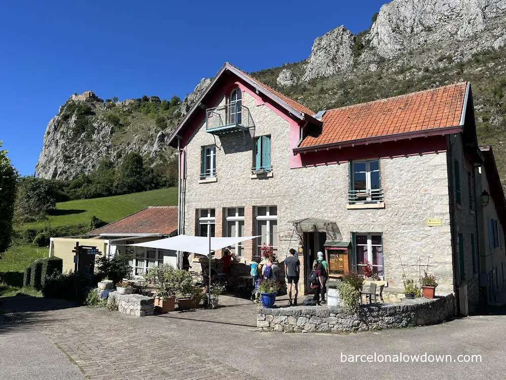
The following is a list of where I stayed on each of the stages:
| Village | Accommodation | Comment |
| Foix | Studio Le Terra | Comfortable, self-catering apartments near the train station in Foix. |
| Roquefixade | Gîte d’etape de Roquefixade | This is a small, welcoming gîte with half a dozen shared rooms. When I stayed, it was about 75% full. |
| Montsegur | Camping Municipal de Montsegur | A small and simple campsite which costs €4 per night. There are hot showers and a place to charge your phone. You pay for the campsite at the village museum, which provides tokens for the showers. |
| Comus | Le Silence du Midi | This is a family-run gîte that also allows you to camp and eat with them. The food is very good. I camped and was the only tent. Three people were staying at the gîte. |
| Sorgeat | Camping Municipal La Prade | This is a medium-sized campsite with pitches and chalets. There isn’t a restaurant or shop on the campsite, but there is a small common room where you can charge your phone. |
| Orlu | Relais Montagnard d’Orlu | I had originally planned to camp here, but in the end decided to stay at the relais. They have a mixture of shared and private rooms, the staff is friendly, and the food is good. |
| Mérens les Vals | Auberge du Nabre | The Nabre Inn has several private rooms plus a large barn that has been converted into a dormitory with more than thirty beds spread over three floors. When I stayed, there were four of us in the dormitory, but I doubt it is ever full. They don’t check their emails very frequently so it’s best to phone. The owner speaks French and Spanish. |
| Porta | Hotel Le Campcardos | This is a small hotel with seven or eight rooms. It was about half full when I was there in late September. |
| Prullans | Cerdanya Eco Resort | I had initially planned to either stay at the Cabana dels Esparvers or camp at Cal Jan de la Llosa, but I made good progress and decided to continue to Prullans. There is a campsite here, but it only has gravel pitches, so I decided to stay at the hotel. |
| Bellver de Cerdanya | Fonda Biayna | Fonda Bianya is a historic inn in the centre of the village with comfortable rooms that have been beautifully restored. |
| Bagà | Hostal Cal Batista | This is a relatively large hotel, probably built in the 1970s, and is rather dated. The rooms are basic but spotlessly clean. |
| Gósol | Hotel Cal Franciscó | Once again, this was a relatively large hotel with simple but clean rooms on the outskirts of the village. |
| Peguera | Cal Barbut | The guesthouse was fully booked, but the owner kindly offered to let me camp on the grounds and eat with them. This is definitely preferable to wild camping amongst the cows at Peguera. However, the guesthouse does have a rather persistent cat who kept trying to get into my tent at every opportunity. |
Finding your way
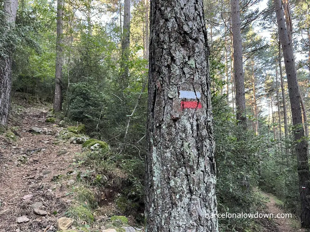
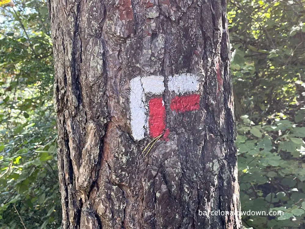
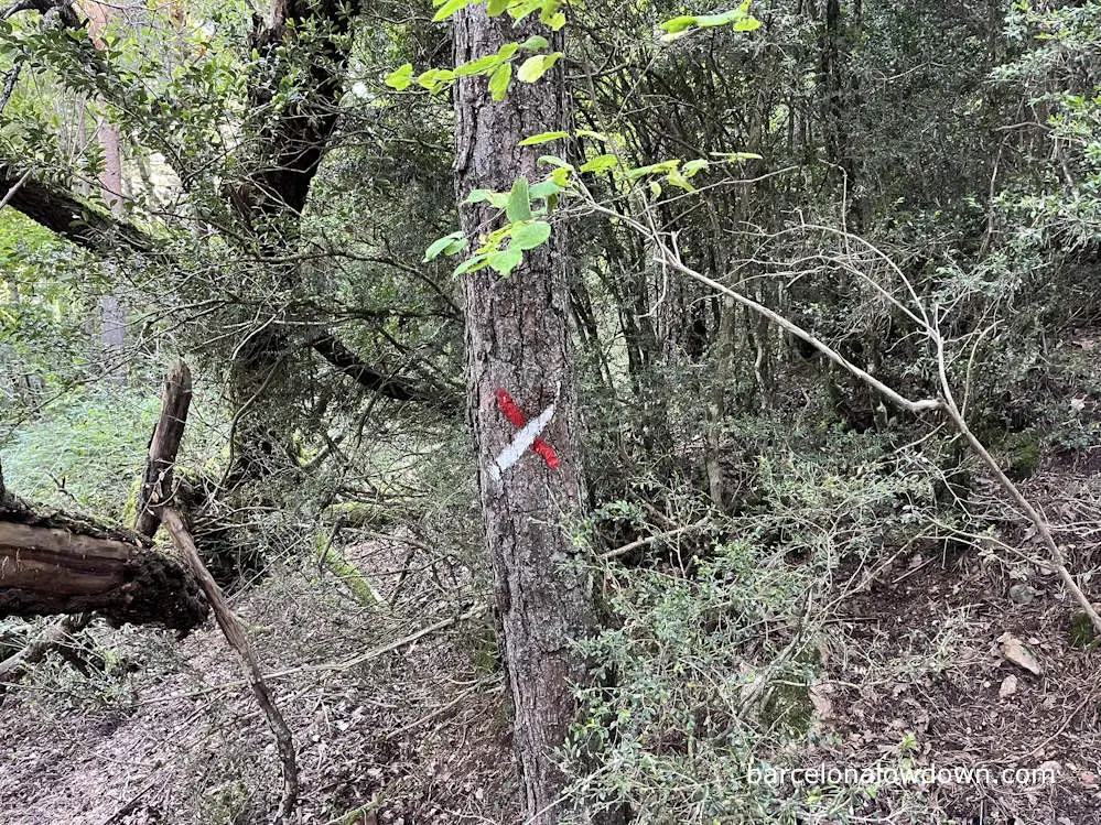
The Camí dels Bons Homes, or GR107, is part of a network of long-distance footpaths called GR trails that crisscross Europe. The paths are marked with white and red flashes and are maintained by the corresponding countries’ official hiking federation.
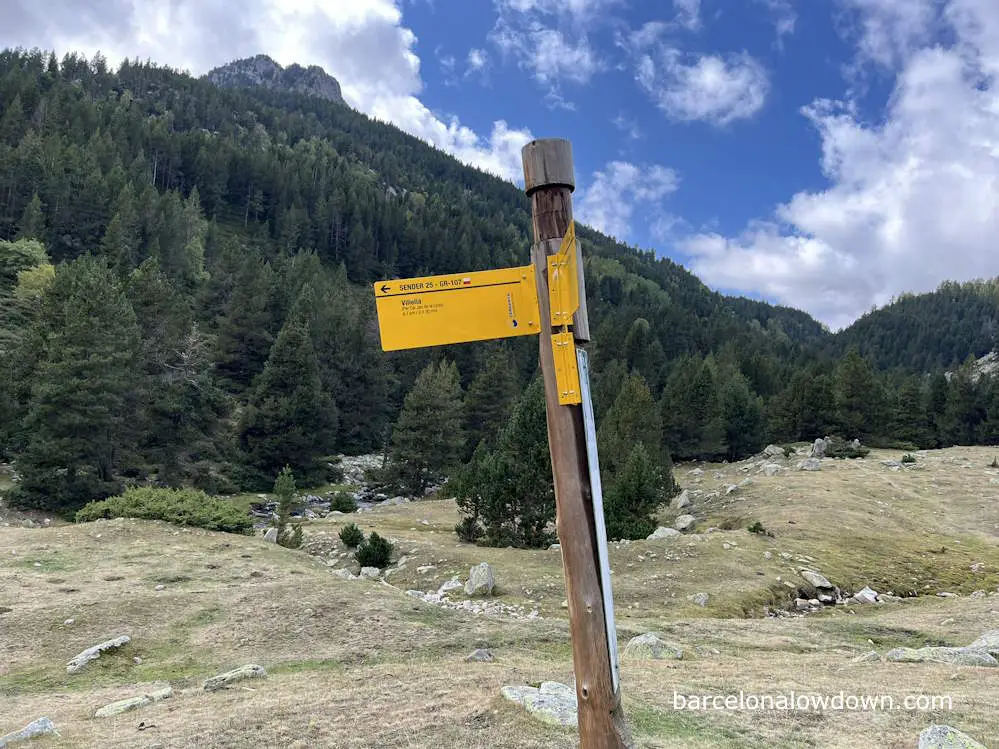
In addition to the white and red waymarks painted on rocks and trees at intervals along the trail, there are also signposts with the name of the next village. You will also occasionally see signs with the Camí dels Bons Homes logo.
I’ve hiked several Spanish GR Trails, and I would say that the Camí dels Bons Homes is probably the best marked, almost to the point where you don’t need a map. However, there are sections of the trail where the path isn’t clear or where it intersects with other trails, so it’s advisable to carry a map of some sort. Whether it’s a physical map, a GPS device, or a mobile app, having a reliable means to find your way is essential, especially in bad weather.
GR trail waymarkers
Getting to and from the GR107
Barcelona to Foix
The best and cheapest way to get from Barcelona to Foix is by regional train. First, you take the R3 from Barcelona to La Tor de Querol, which costs twelve euros and takes three hours (timetable). From here, you catch a French regional train to Foix, which takes one hour and costs approximately twenty Euros (timetable). Depending on connections, the journey typically takes about six hours in total.
Berga to Barcelona
Spanish bus company ALSA operates approximately fifteen buses per day between Berga and Barcelona. The journey takes approximately three hours and costs about twelve Euros (timetable). There are also direct buses from Barcelona to Bagá and Bellver de Cerdanya.
Getting there from the UK, USA and Canada
If you are travelling from the UK, the most convenient route would be to take a flight to Toulouse, followed by a regional train to Foix. For the return, you can catch the bus from Berga to Barcelona, followed by a flight home from Barcelona.
If your local airport doesn’t have direct flights to Toulouse, or you live outside of Europe, you’re probably best off flying via Barcelona in both directions.
Take a look at my guide on where to stay in Barcelona >>
Transferring between towns on the GR107
One thing I hadn’t considered before starting the hike is that several of the villages on the French section of the trail are linked by a train line that runs from Latour de Carol to Toulouse, and there are several trains in each direction daily. Timetables here.
This means that if you couldn’t find accommodation at one of the villages or had to skip a stage for whatever reason, you could easily take a train between villages. For example, I met an English hiker who stayed at Ax-les-Thermes for two nights because he hadn’t found accommodation in Orlu or Mérens les Vals.
On the Catalan section of the trail, Spanish bus company Alsa runs one bus per day between Berga and Gósol, Bagá and Bellver de Cerdanya.
Books, maps and websites
Guidebooks
Trekking the Camí dels Bons Homes (Cicerone Guides)
The only English language guide to the GR107 is Trekking the Camí dels Bons Homés.
The book follows the same format as other Cicerone guidebooks, including detailed descriptions of each stage, maps and tables with distances, estimated timings, and the names, telephone numbers and websites of accommodation at the end of each stage. There is also plenty of general information about the route, including history and advice about when to undertake the hike, how to get there, and what to take with you.
I have found Cicerone guides to be well-organized and comprehensive, providing all the necessary information. Another great feature is that once you buy the book, you can register on the Cicerone website and download free GPX tracks of the route.
My only criticism of this guide is that it’s very much oriented towards people who will be staying at hotels and gites. Although the guide includes some information about manned and unmanned refuges, unlike other Cicerone guides, it doesn’t include any information about wild camping sites. Having said that, this is only the first edition, and I’m assuming that more information will be added in the future.
Also, the facilities tables included at the start of each stage often make it look like there are more shops and restaurants than there really are (more about this later). Having said that, the author does mention the lack of shops on the French section of the route and says that you will generally have to purchase food from your accommodation.
Maps
As I’ve already mentioned, the Camí dels Bons Homes is very well waymarked and accurate GPX files and tracks are available on the official websites, Wikiloc and Alltrails (links below), meaning you don’t need to purchase a map of the route.
Having said that, paper maps are great for planning and give a better overview of where you are going. They are also great for finding alternative routes and getting more of a feel for where you are, learning the names of the mountains, and other information that you generally don’t get when following a trail on your phone or GPS.
GR 107: El Camí dels Bons Homes (Editorial Alplina)
This is a set of six 1:50,000 scale maps covering the entire route from Foix to Berga. On the reverse of each map, there’s some general information about the route, including tables listing the facilities available at each stage.
My only criticism of these maps is that the route is marked with a thick red line, making it hard to pick out details. Plus, the section between Foix and Montgailhard is out of date and has been changed.
Websites & Blogs
In addition to guidebooks, there is quite a lot of information about the Cami dels Bons Homes online. The following are the four most useful sites which I found when planning my trip.
camidelsbonshomes.com
This is the official website of the organization responsible for the Camí dels Bons Homes. In addition to descriptions of the stages, which can be downloaded in PDF format, there are also GPX files which are periodically updated.
The website also includes a list of accommodation and other local businesses in towns and villages along the route. They also list details of tour companies and licensed guides who organize trips on the route.
My only criticism of this site is that it’s poorly organized. For example, hotels are listed in alphabetical order rather than being grouped by stage or location.
arriegepyrenees.com
This French tourism website divides the route into thirteen stages and provides accommodation options for each stage, along with links and telephone numbers.
It also has information about shops along the way, although I found this to be misleading since the shops were very small and often weren’t open (more about this later).
apieporelmundo.blogspot.com
This is a personal blog written by a female Spanish hiker who solo-hiked the Camí dels Bons Homes from Berga to Montsegur, staying in a mixture of gîtes, hotels, and mountain huts. Written in Spanish, the blog divides the journey into ten posts and contains helpful information and personal anecdotes.
Perhaps the most helpful information I gleaned from this blog was that there aren’t many shops or restaurants in the villages on the French section of the trail, meaning that if you plan to camp or stay at unmanned mountain huts, you will have trouble finding food. Indeed, Clara, the blog’s owner, had initially planned to hike all the way to Foix but cut the journey short due to a lack of food.
minty95.com
This is another personal blog. This time by an Englishman who lives in France and hiked from Montgailhard to L’Hospitalet Pres l’Andorre in October 2019. Like me, he mixed camping with staying at gîtes d’etape and hotels and described his journey on a day-by-day basis.
He also mentioned that if camping, you will need to bring food since there aren’t places where you can purchase provisions in the villages on the French section of the route. Another helpful bit of information, which he included, was a link with a detailed description of the gear and supplies he carried with him.
YouTube
Several videos on YouTube show sections of the Camí dels Bons Homes, and a few cover the entire route.
The best video I found is by a South African couple who hiked the route in August 2023 and shared quite a lot of helpful information about where they stayed and ate.
It’s pretty long but quite inspiring, although I’m not sure what they were referring to when they spoke about a section being closed towards the end of the trail near Gósol; this certainly was not the case when I hiked the route in 2024.
I’ve also created a short ten-minute video, which you can find on my channel.
Tips & FAQs
Finally, here is a selection of tips, questions and answers relating to the Camí dels Bons Homes.
How long is the Camí dels Bons Homes?
The Camí dels Bons Homs stretches from Foix in France to Barga in Spain, a distance of approximately two hundred and thirty kilometres.
What is the best time of year to hike the Camí dels Bons Homes?
Most people hike the GR107 between June and October, although there are winter or “bad weather” variants that avoid the highest passes. July and August are the most popular months. If you decide to hike early in the season, you can expect that there will still be snow at higher elevations. Afternoon thunderstorms are common during August and September in the Spanish Pyrenees.
How long does it take to hike the Camí dels Bons Homes?
The Camí dels Bons Homes usually takes between ten and thirteen days to complete.
Is the Camí dels Bons Homes suitable for novice hikers?
Although the route is well-marked and isn’t especially technical, I don’t think it is suitable for beginners. Some stages are quite long and include positive elevation gains of more than 1000 metres. The route requires stamina, and you need to be confident that you can make it to the end of each stage. If you are a beginner backpacker looking for an enjoyable multiday hike, I recommend starting with a more leisurely route like the Costa Brava Coastal Path.
Can you hike just a section of the Camí dels Bons Homes?
Yes, there are public transport connections from Barcelona and Toulouse to several towns and villages along the route. For example, if you only have a week, you could complete the section from Foix to Merens les Vals, both of which are on the train line between Toulouse and Latour de Carol. Alternatively, you could hike the Spanish section from Berga to Bellver de Cerdanya, both of which have direct bus services from Barcelona.
Are guided hiking tours available for the Camí dels Bons Homes?
Several companies offer guided hiking tours of the Camí dels Bons Homes with qualified mountain guides. There’s a list of official guides and tour groups here.
Is there a bag transfer service on the Camí dels Bons Homes?
Most of the tour companies listed in the link above will transport their clients’ luggage from stage to stage.
Which is the most beautiful section of the Camí dels Bons Homes?
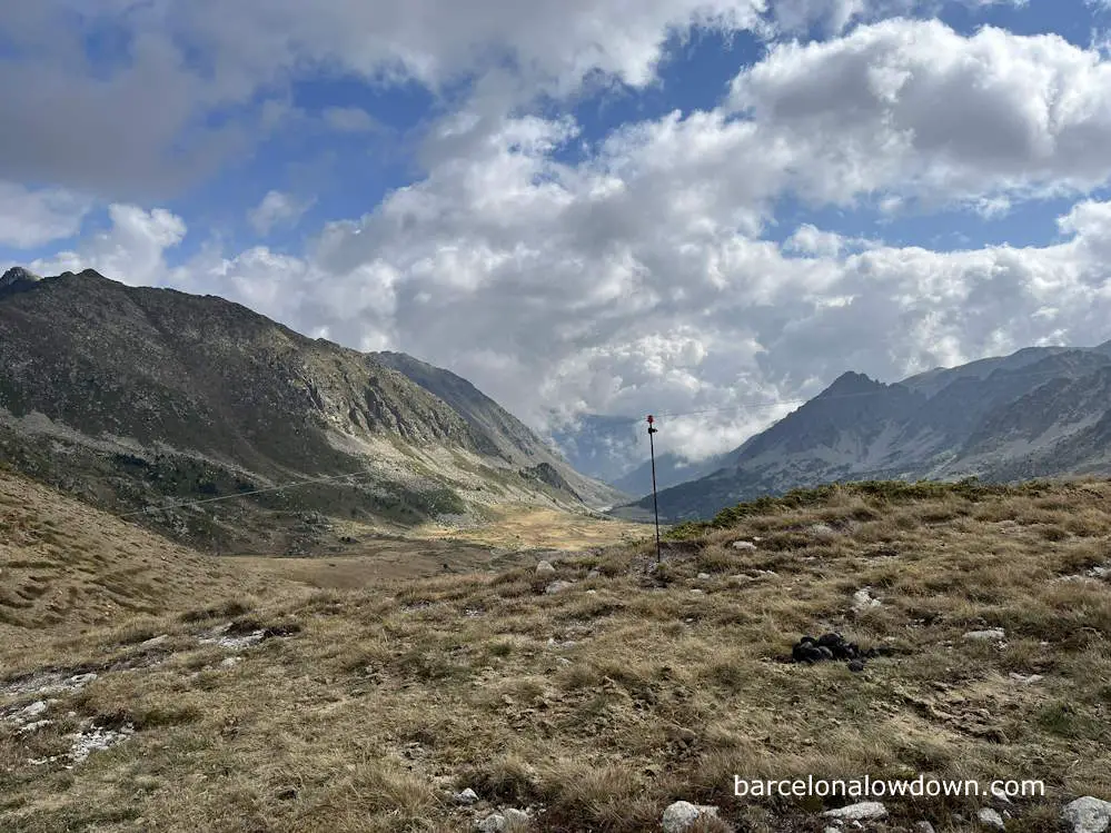
The GR107 is a beautiful route through varied landscapes, and the scenery changes daily. If I had to pick one “most beautiful” stage, it would be the section from Mérens les Vals via Porteille de Bésines to L’Hospitalet Pres l’Andorre.
Is wild camping permitted on the Camí dels Bons Homes?
Wild camping is tolerated as long as you pitch your tent shortly before sunset, take it down shortly after sunrise, and leave no trace. I have heard of people wild camping the entire trail, although the only place where I saw any evidence was on the stage between Merens and Porta, where there were many obvious wild campsites beside the trail. If you decide to wild camp, you should do it away from villages, and bear in mind that cattle graze and roam freely along much of the route.
Are there wild bears in the Pyrenees?
After being hunted almost to extinction, Brown Bears were reintroduced in the late 1990s, and there are currently around a hundred bears in the Pyrenees mountain range. However, it is highly unlikely that you will encounter a bear in the wild. Apart from being spread over a vast area, bears avoid humans and mostly live in protected areas. Although there are occasionally press reports of bears attacking livestock, I’ve never heard of them attacking people. If you are visiting from the US, Canada, or other areas with bears, you don’t need to bring your bear canister or spray.

