The Three Hills Walk is a popular hiking trail in Barcelona which visits the summits of three hills: El Turó de la Rovira, El Carmel and La Crueta del Coll. There are multiple variations of the route that follow footpaths and tracks through parks in the neighbourhoods of Gràcia, El Carmel, and Horta-Guinardo.
The lengthier versions of the hike are approximately nine kilometres long and require roughly two and a half to three hours to complete, while shorter routes are roughly six kilometres in length and take about two hours.
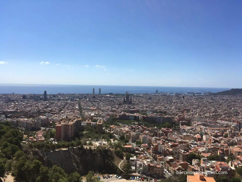
Whichever route you choose to follow, The Three Hills Walk offers spectacular panoramic views of Barcelona. Some of the most notable sights you’ll see along the way include the Sagrada Familia, Torre Glòries and Mount Tibidabo, not to mention a stunning vista of the entire city laid at your feet.
The trail described in this post is a circular route which starts and ends at the Guinardo | Hospital de Sant Pau metro station on the L4 metro line. The walk is just over nine kilometres long and takes about two and a half to three hours to complete at a leisurely pace.
Unlike many of the walks described in this blog, most of the trail isn’t marked, so I recommend you download the track from Wikiloc and ensure your phone is fully charged before setting off. If walking in summer, you should wear adequate sun protection and carry a water bottle, which you can refill from drinking fountains along the way.
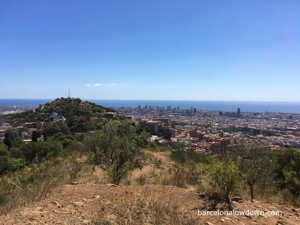
Hiking the Three Hills Walk in Barcelona
The walk starts at the Guinardo | Hospital de Sant Pau metro stop, next to the Recinte Modernista de Sant Pau, in the Horta-Guinardo neighbourhood of Barcelona.
After leaving the metro station, we cross the road and follow Carrer del Telègraf uphill towards the Parc del Guinardo. The road is quite steep, and after a couple of blocks, we come to the first of two escalators, followed by a kind of mini funicular railway called “Inclinat Telègraf”, which was built to help the neighbourhood’s residents get around. If you’re a purist and prefer to walk the entire way, you can take the steps which run alongside the escalator and the funiculars.
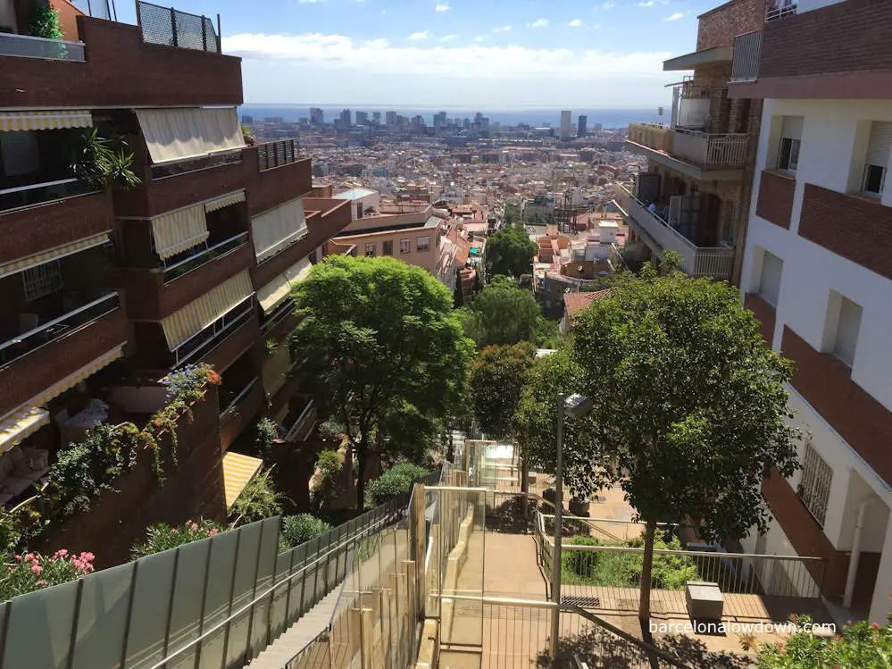
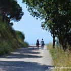
Once at the top of Carrer del Tèlegraf, we come to a small car park on the perimeter of El Parc de Guinardó, where we follow a wide gravel footpath upwards, amongst pine trees, towards the first hill of the walk El Turó de la Rovira.
As we continue through the park, we get our first views of the Torre Glòries and the Sagrada Família. A few minutes later, we come to a metal staircase which takes up to the aptly named Carrer Panorama and the small group of houses which are immediately below the peak of El Turó de la Rovira.
Once a little-known spot frequented by dog walkers and runners, in recent years, “The Bunkers” has become the place to come to admire the views and take selfies. Although it gets pretty busy at the weekend, it’s still a nice place to visit, and the views are as spectacular as ever.
The bunkers are closed from 7:30 pm until 9:00 am. So if you’re an early morning person, you shouldn’t start this walk before 8:30 am, or you’ll end up sitting around waiting for the gate to be unlocked.
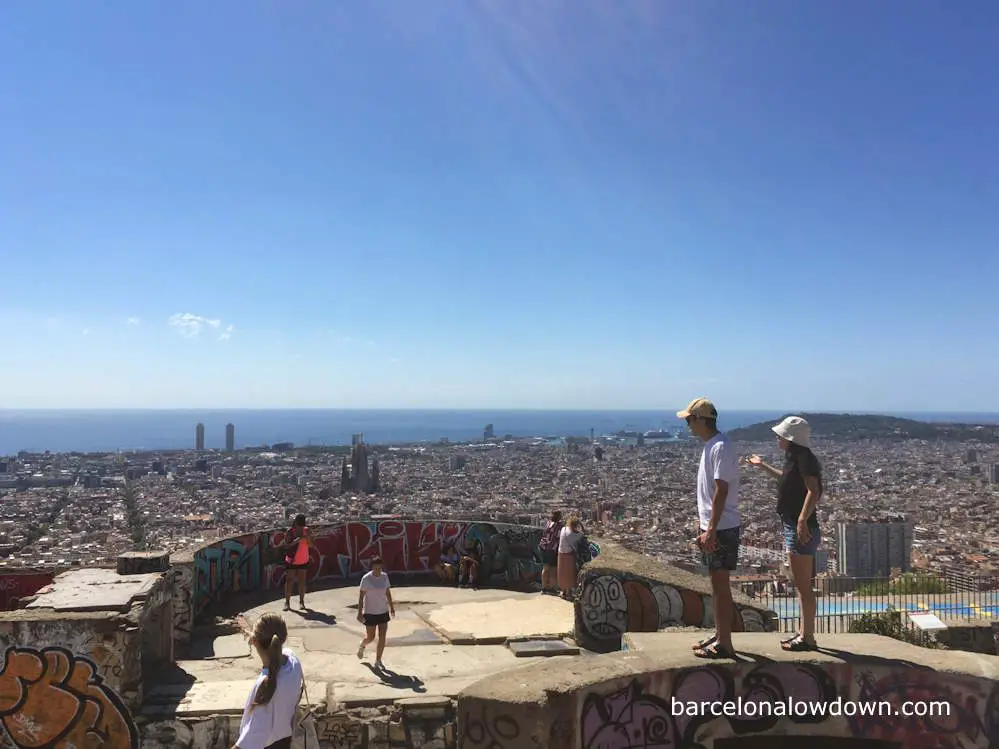
Once you’ve finished taking photos, it’s time to start heading South along Carrer de Mühlberg towards the second hill on the walk, El Turó del Carmel.
After following the road for a couple of hundred metres, we come to a crossroads and the entrance to Jardins de Juan Ponce. There are a couple of bars and a bakery here where you could stop and have a coffee or a bite to eat.
After crossing the road, you turn right and climb the concrete stairs towards the Santuari de Nostra Senyora del Mont Carmel, the church the hill is named after. If you’re a fan of street art, it’s worth taking a slight detour here to check out the Tauró del Carmel mural, which is painted on the wall below the stairs.
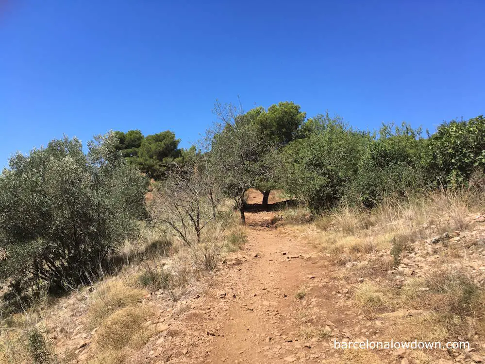
At the top of the stairs, we turn sharp left and continue through a narrow gap between some trees and the perimeter wall of the church. From here, a rough footpath continues uphill towards the peak of Turó del Carmel.
The views from El Turó del Carmel are similar to those from the Turó de la Rovira. The main difference is that there aren’t any anti-aircraft bunkers, there isn’t a road leading up here, and there aren’t usually any tourists. In fact, there’s a chance that you might have the entire place to yourself.
Although much of this walk is along pavements or gravel paths, there are several rocky sections, and I recommend you wear trainers or walking shoes with good tread.
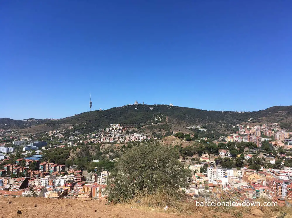
From here, we head due North, downhill until we reach some houses, where we briefly follow the Carrer del es Coves d’en Cimany before turning left and following Carrer del Santuari past La Mare de Déu del Coll, a tiny Romanesque church which dates back to the eleventh century.
After passing the church, we come to a junction where we turn left onto Passeig de Mare de Deu del Coll before heading uphill towards Finca San Salvador, a modernista building designed by Josep Maria Jujol.
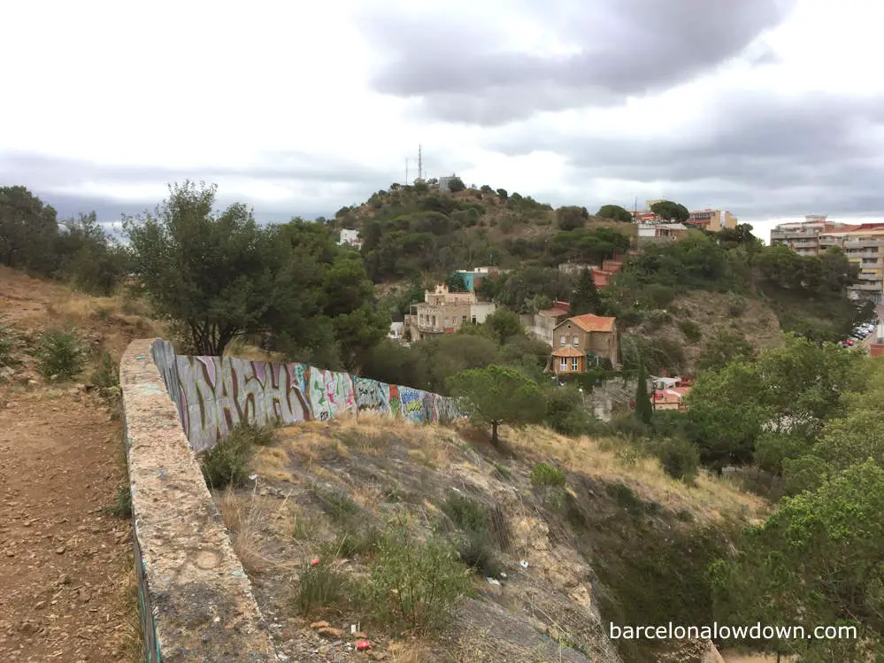
Shortly before arriving at Finca San Salvador, the road is flanked by a three-block high breezeblock wall. This is where we turn right and climb upwards amongst the trees towards the top of the third hill, El Turó de la Creueta del Coll.
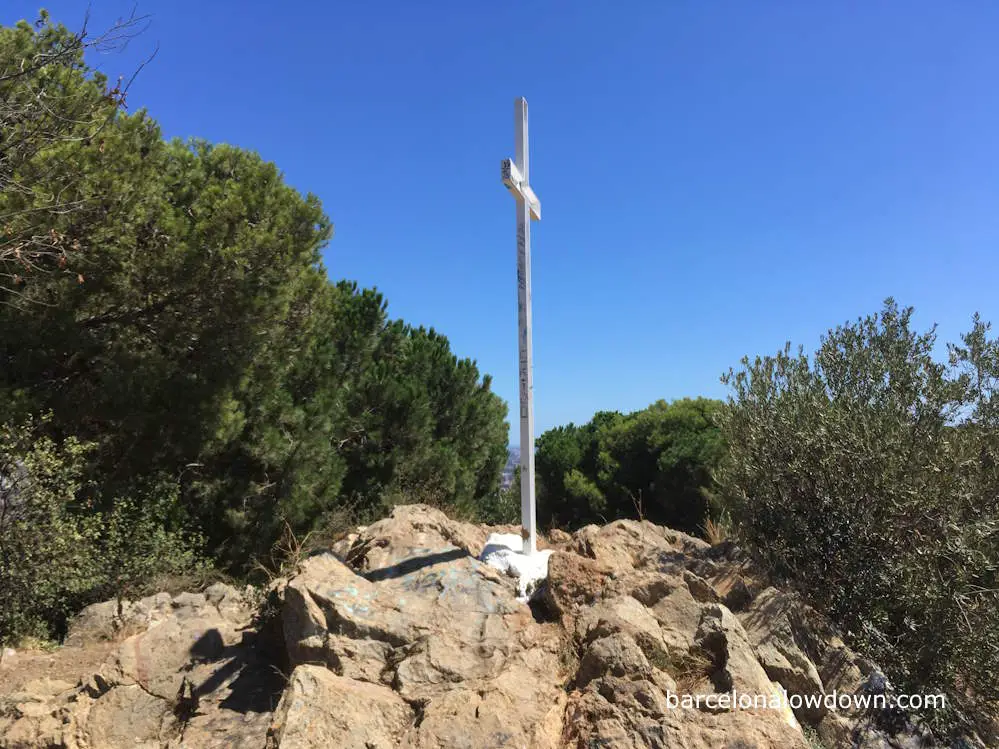
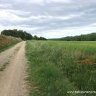
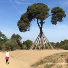
The footpath isn’t very clear at this point. Basically you just head uphill for about fifty metres or so until you come to a fence with a footpath on either side. We take the path on the right-hand side of the fence and follow it amongst the pine trees to the highest point, marked by a white metal cross.
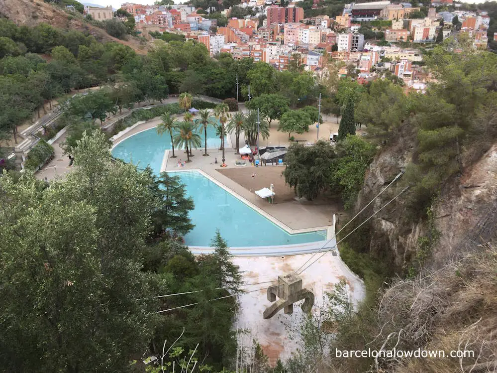
The Turó de la Creueta del Coll was once a quarry, and the interior of the hill has been quarried away, leaving a crescent-shaped crater reminiscent of an extinct volcano. Inside the crater, about fifty metres below the path, there’s a small park with a large open-air swimming pool which is very popular in summer.
After passing the cross, we follow the fence around the perimeter of the crater before heading down amongst the trees to the entrance to the park, before heading downhill along the Baixada de Sant Marià towards the upper reaches of Park Güell.
From here, we follow some footpaths which skirt around the upper limits of Park Güell and back to the lower slopes of the Turó del Carmel. The path leads us through an area of woodland and back to the intersection near the Tauró del Carmel, where we retrace our steps back to the Turó de la Rovira.
On our way back, instead of climbing back up to the bunkers, we walk across Pont de Mühlberg, Barcelona’s love lock bridge, and follow the trail through el Parc del Guinardó.
From here, it’s just a matter of following the path downhill through the park and back to where we started from, approximately two and a half hours earlier.
The Three Hills Walk:
Start from: Guinardo | Hospital de Sant Pau metro station (Metro line L4)
Difficulty: Moderate
Wikiloc trail: here
Duration: 2.5 hours
Suitable footwear: Walking shoes/trainers

